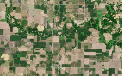
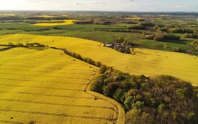
Help from on high A technology that has been around for decades is emerging as a powerful “new” tool in solving agriculture’s most urgent problems. The difference between then and now is in the clarity and frequency of satellite imagery, and agriculture’s vastly...
AgTech
Don’t Roll the Dice with Software Product Development
After 20 years developing digital solutions, I have concluded that companies are ill-served following the conventional software product development process. Bringing in a development team at the point of implementation is rolling the dice. Inevitably something is...
Farm Data: Catalyst for Agribusiness in 2023
New rules to compete and comply. In agribusiness, data insights define who leads the market and who follows, making it the single greatest catalyst driving competition and change. In 2023, farm data will become more than a competitive issue, as new FDA rules...
Farming: Not the Easiest Job to Do–or Get
Lyle Drees did not want his son to stay on the family farm. He knew the struggles his son would face if he followed in his footsteps and urged him to look at a more stable career. One that offered the financial security farming cannot. It was time, he told his son, to...
The Evolution of E-Luminate: Syngenta’s Seed Selection Platform
Seed selection is one of the most important decisions a farmer makes. Even if farmers do everything else right, planting the wrong hybrid or variety on their fields can reduce yields and eliminate their profits. Selecting seeds that improve yields requires the ability...
Guidelines for Agribusiness: App Development Costs
How often have you heard or thought “why does it cost so much to develop an app?” A better question may be, “what is the cost if we don’t develop one?” Agribusiness app development costs are not inconsequential, but digital apps and platforms are a centrifugal force...
Who Will Benefit from Ag Data’s Competitive Advantage?
Gone are the days when retailers could compete on selling seeds, equipment and crop protection products. In 2022, the competitive advantage will go to advisors who know how to help farmers benefit from their on-farm data. For farmers and advisors, data offers...
Risks in Merging Drone and Satellite Data
Big Picture, Hidden Risks Who isn’t awed by the vivid clarity of drone imagery? With ultra-high resolution, multispectral imagery, you can spot an aphid on a soybean leaf well before those pests are well established. What drone imagery can’t do is provide a complete...
Interim Solutions to Agriculture’s Rural Connectivity Problem
Rural America has an internet access problem, and for the foreseeable future, it will continue to be reality for growers and ranchers in remote areas. While rural connectivity is improving, a 2019 report found that 25% of farms cannot get online. Without access,...
AgTech: The Shortcomings of Big Data
In AgTech, big data means collecting everything. The temperature of the air as you plant, the moisture of the kernel as you harvest, the exact coordinate of each weed you find; it all gets absorbed into the digital cloud, analyzed, and processed. The end result is...


